the Castle Gardens map
Lisburn, Northern Ireland

The Castle Gardens map
Lisburn. N.Ireland

'The Map is not the Territory'
Most maps show you where you are, the Castle Gardens map seeks to show you when you are.
The map bends space and time to reveal layers of history side by side, allowing moments from different centuries to coexist on a single page.
Rather than guiding you from point to point, it invites exploration, offering a richer understanding of how this quietly remarkable landscape has been shaped, remembered, and reimagined over time.
Lisburn rests on ground shaped by far deeper history than its Norman ruins alone suggest.
Long before stone walls and battlements rose at Castle Gardens, the banks of the River Lagan were home to early Gaelic Irish communities — farmers and families living among ringforts, woodland, and fertile fields, drawn by the river’s quiet abundance. When the Normans later built their stronghold here, they layered conquest and architecture onto an already ancient, lived-in landscape.
Today, Castle Gardens carries all of that time at once: a place where Irish memory, Norman ambition, and gentle modern calm intertwine, giving the park its unmistakable sense of romance and depth.

The Map is Not the Territory
What began in the summer of 2023 as a hastily scribbled list—jotted down in the midst of Castle Gardens’ quiet allure—gradually evolved over six months into a kind of map. While it centres on the historically significant gardens, its reach extends to the Market House (now the Irish Linen Centre and Lisburn Museum) and Lisburn Cathedral, St. Nicholas’.
As I delved deeper into the gardens’ history, tracing dates and details, I found that this knowledge, while enriching, began to dull the enchantment of my initial experience. So, I stepped back from factual precision and turned instead to capturing the spirit of the place—its character and vitality—through a more pictorial lens.
Though loosely anchored in geography, my creation is meant to serve as both guide and enigma—a map whose twists and turns wander through both time and imagination. By embracing a playful interpretation of the park’s landscape, I’ve woven symbolism and metaphor into its form, allowing the stories it holds to breathe freely, unbound by the constraints of traditional maps or timelines.
Cast of Characters

I had thought that perhaps I should provide a companion guide to aid in unraveling the many references embedded within the ‘map,’ I’ve opted instead (save for some subtle cues within the image) to leave the joy of discovery to the viewer. I have, instead, provided a (nearly) complete list of people, places and things included within the map.
I encourage each curious mind to embark on an exploration of this captivating little corner of the world, allowing the thrill of wonder and revelation to become uniquely their own.
Referenced within the map and in no particular order:
- Crimean Cannon
- Lillian Metge
- Louis Crommelin
- Conway Family
- Conn O’Neill
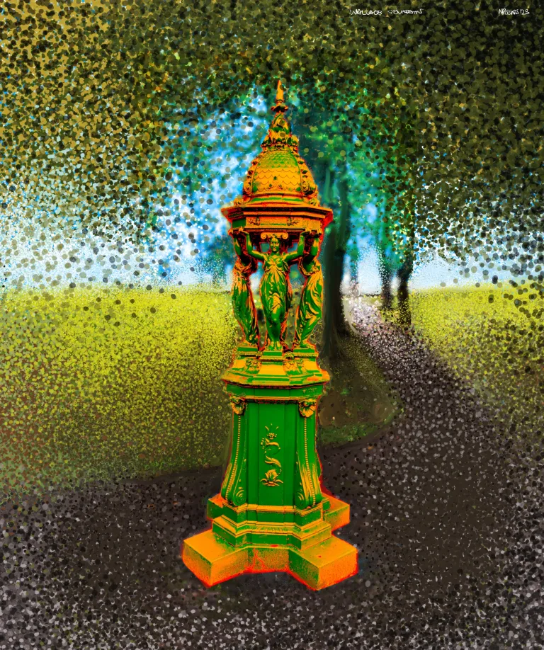
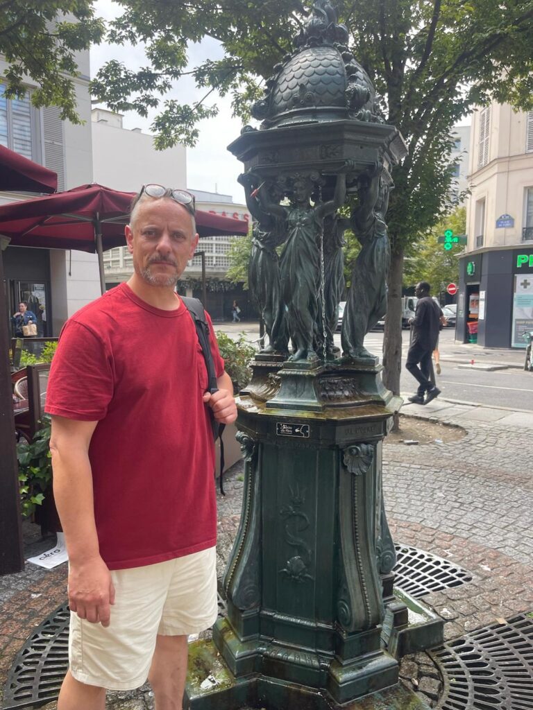
- Wallace Fountain
- Market House
- Henry Munro
- Egret Fountain
- United Irishmen
- Peace Monument
- Peron Garden
- Lisburn Fire
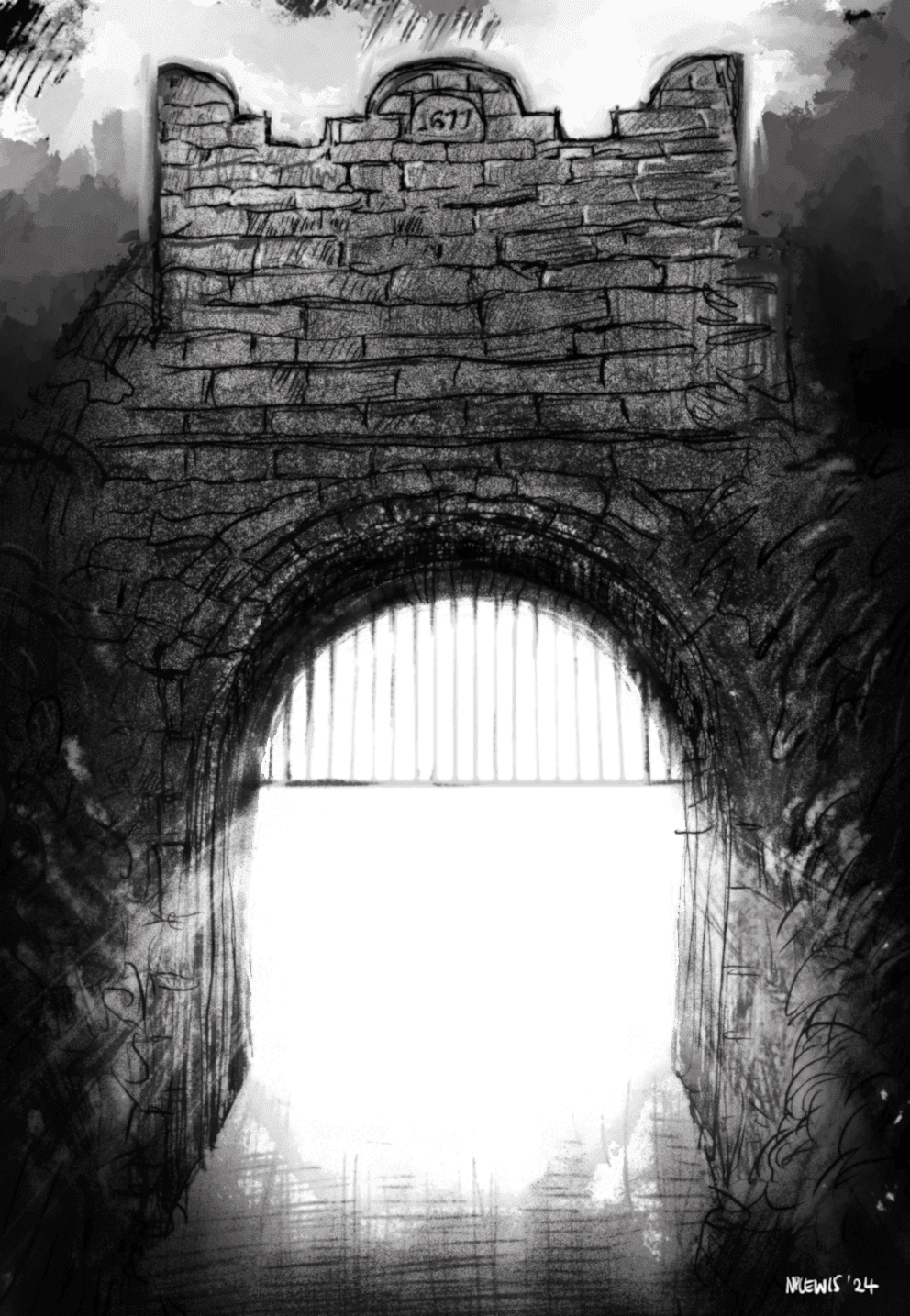
- East Castle Gate
- Bomb Shelter
- Sir Robert’s Oak
- Richard Wallace
- River Lagan
- Lady Jane Finch
- Egan Harp
- Flora and Bird Species
- Forbes, McDonald & Coote
Own the Map That Shows You When You Are.
The Castle Gardens
Chrono-Cartograph
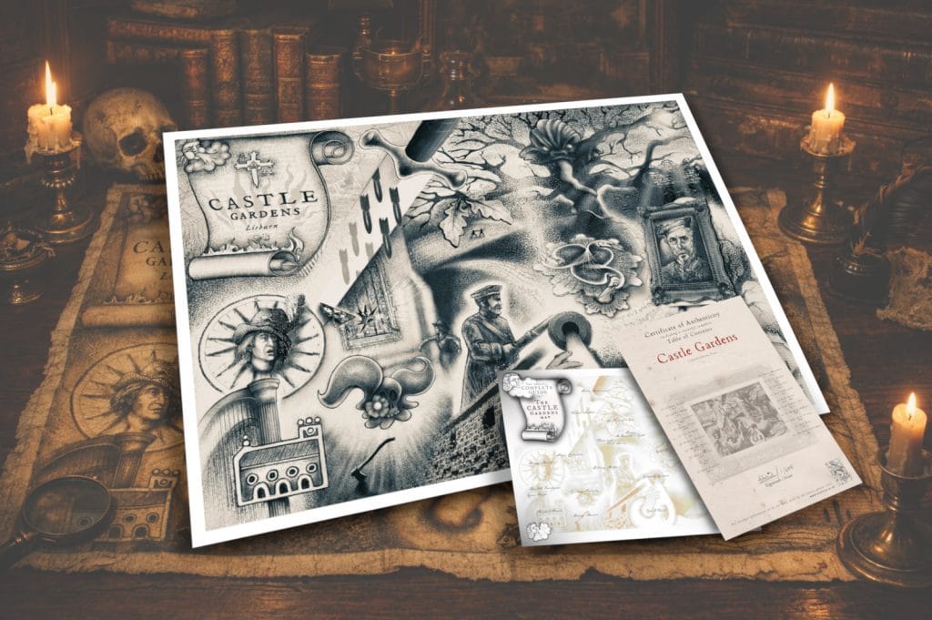
Step into a version of Castle Gardens you’ve never seen before. This is not just a map — it’s a visual excavation, a layered artwork that folds centuries into a single frame. Every path, structure, and symbol has been carefully placed to reveal hidden histories, lost stories, and overlooked details that most visitors walk past without ever noticing.

Pricing & Editions
Each edition of the Castle Gardens map has been carefully priced to reflect its purpose, production quality, and the experience it offers — from accessible educational use to refined collector ownership.
Standard Edition
For classrooms, families, and proud Lisburn locals
A beautifully printed, high-quality map designed to educate, inspire curiosity, and celebrate local heritage. Ideal for schools, young learners, history enthusiasts, and as a meaningful gift for all ages.
Digital Download — £12
High-resolution, print-ready file for personal or educational use.
Perfect for instant access or classroom projection.A3 Printed Map (Posted) — £45
Professionally printed on premium paper using archival-quality inks.
Carefully packaged and posted flat for safe delivery.
Accessible, informative, and made to be enjoyed every day.
Collector’s Edition
For collectors, historians, and lovers of fine cartographic art
A museum-grade artwork that treats Castle Gardens as both place and palimpsest. This limited edition includes exclusive material and archival production standards, making it suitable for private collections, libraries, and refined interiors.
A3 Collector’s Print (Posted) — £120
Certificate of Authenticity
Exclusive printed companion guide
Archival packaging for safe delivery
Limited print run of 500
Printed on museum-quality fine art paper using professional giclée pigment inks
Signed by the artist
To order your copy of the Castle Gardens map please email me directly at:info@niartist.co.uk
Digitally drawn, entirely human.
“Every line of this Castle Gardens map was crafted by my own hand, with care and intention — no AI shortcuts. In an age of flawless AI creations, human-made art feels more vital than ever. Like 19th-century portrait painters confronted by photography, artists today face the fear of being replaced, yet it is precisely in our errors—the hesitations, the imperfections—that art becomes alive. The beauty of artwork created with evidence of the human hand lies in its humanity; the error is not a flaw, but proof that it is human”.
Nick Lewis


For further information and commissions please click below or email: info@niartist.co.uk